Our 2023 Holiday Card from TransCanadaHighway.com and the folks at TransCanada FoundLocally Inc.
TransCanadaHighway.com Announces New Features
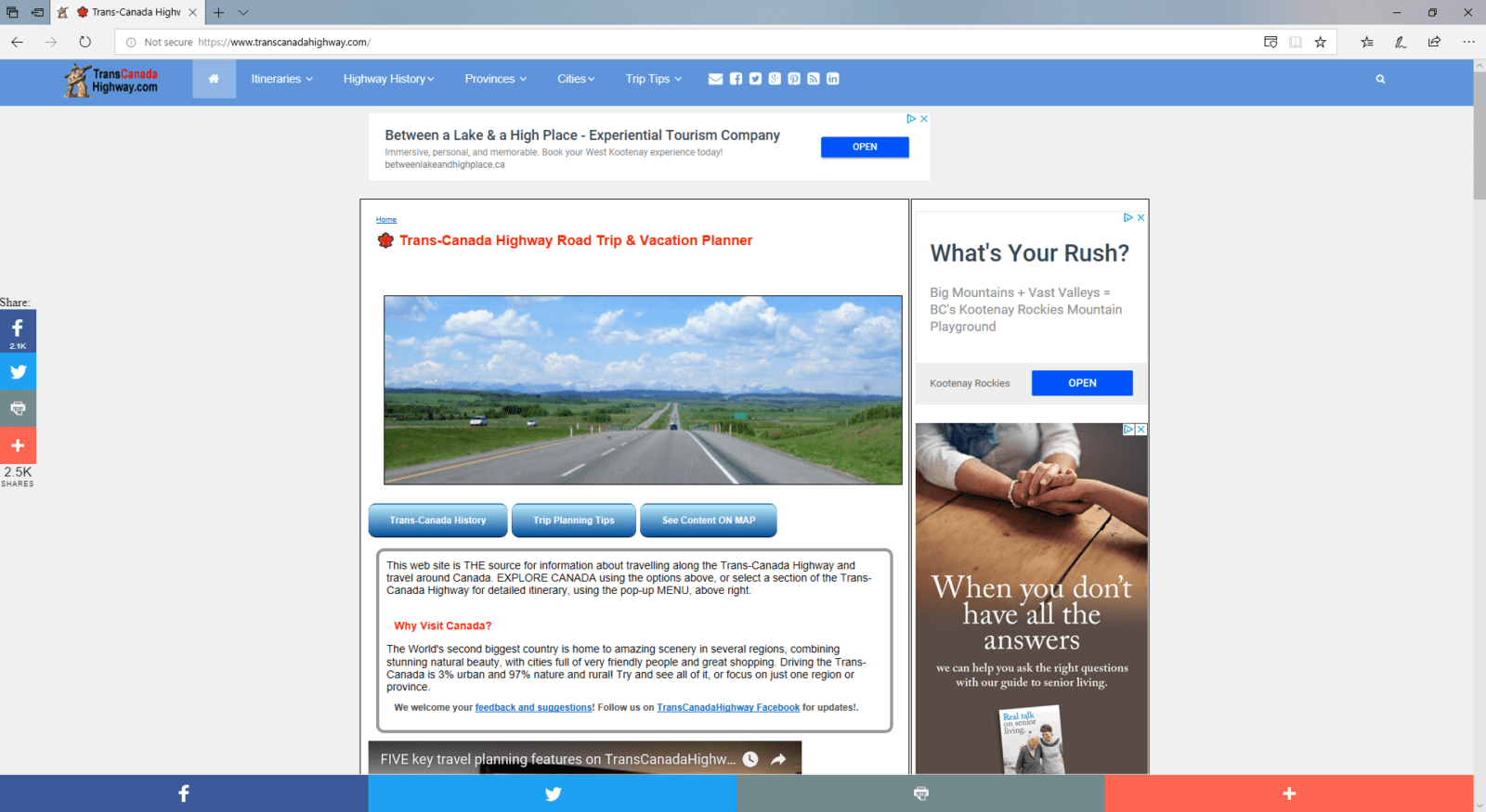
FoundLocally/com Media Inc, publishers of the popular http://TransCanadaHighway.com website, Has announced a number of new features in its online itineraries for the “longest national highway in the world,” running 7,821 km (4,860 mi.) from end to end.
The site has posted details on over 3500 points of interest along the highway. Itineraries include helpful overview information to help with planning and enjoying your trip. Unlike other travel sites focused on just the cities, this site integrates history & First Nations, geology & geography, flora & fauna information on http://TransCanadaHighway.com (no “www” needed!). Now you can be the Travel Trivia champion your next Canadian vacation!
The Trans-Canada is broken into forty handy 150-250 kilometre segments, between major communities with gas, services, and accommodation. Travelers can plan their routes by combining 2-4 segments per day of travel, depending on sightseeing, breaks with children, road conditions, or changing daylight hours.
We have added additional useful features to our http://transcanadahighway.com/general/itinerary.htm:
- Overview info with key geographical, geological and natural features.
- Zoomable Google map, with satellite image, to get an environmental perspective.
- An elevation chart so you can see the hilliness of the terrain, handy for bicycle trips
- Each itinerary point has a pop-up close-up Google map for trip planning.
Segments are nicely “daisy chained” from one to the next, for virtual trip planning. The site includes major “branch” points like between Hope and Kamloops BC, talking the Toronto detour, visiting PEI, or taking one of two ferries from North Sydney to Newfoundland.
Local travel and hospitality operators wishing to be included in the TransCanadaHighway.com travel information should add themselves to their closest FoundLocally.com site’s free community listings, at http://www.FoundLocally.com
Related Posts